Forest Inventory of the Natural Vegetation of the São Paulo State On the 21st of May of 2019, a great study about the vegetation of the most populous state in Brazil began, the Forest Inventory of the Natural Vegetation of the Sao Paulo State.
This decision was made for that the government has a solid base to strengthen and plan sustainable actions that will bring benefits to the population.
This is not something common, we stand before a special situation in which a state decides to bring its attention to vegetation.
It is good to remember that the vegetation brings more quality to the life of the people in the region, after all, replanting can mild the temperature and reduce the drastic effects of ground rendered impermeable.
Still, generally speaking, people don’t comprehend the importance of vegetation and barely give it a second thought, some stick to agribusiness, but it is not what this is about, because the inventory is not looking for resources that are being used, but the ones that are native and preserved in a given region.
The biggest problem that Brazil faces here is that the majority of people don’t understand the need for a forest inventory, some even believe that it is a loss of money and they barely know what it is about.
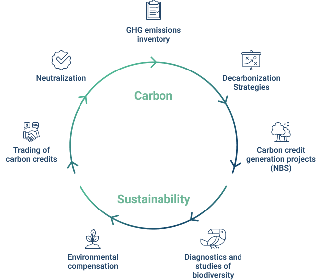
What is Forest Inventory?
Forest Inventory is a method used to give out information about the characteristics of a forest, such as quantity, quality and many other characteristics of the areas where the forest is developing itself in.
The complete forest inventory will offer numerous information, among them: description of topography; description of accesses; property mapping; how easy is the transportation of wood; estimating the area, quantity and quality of different forest resources, and estimating growth (when the inventory is done more than once).
Types of Forest Inventory
Forest inventories, according to Péllico Netto and Brena (1997), can be classified in various types according to their range, objectives, how data is obtained, approach of the population in time and the detailing of its results.
About the range:
Regional Forest Inventory – this inventory is made in great areas with the purpose of serving as base for strategic plans for regional development, but also for studies that make forestal companies possible and to adopt measures that aim to preserve some species.
National Forest Inventory – these are not carried out in a specific location, but throughout the country with the premise of serving as base on the definition of forest policies and the creation of development plans for the use of forests.
Restricted Area Forest Inventory – these are the most common and represent the majority of forest inventories in Brazil. They usually aim to determine the potential of a forest for immediate use or to prepare a management plan.
About the objectives:
Total enumeration or census – in this inventory, the population is measured and observed, it is where the real values are obtained, meaning the population parameters.
Sampling – here the sampling system is used, when only a part of the population is observed and therefore an estimate of its parameters is reached, it is where a sampling error is achieved.
Production table – makes up the basis of forest management that indicates the behavior of a species over time in a specific location, subject to a defined management regime, from implementation to the end of operation and rotation. This methodology implies presenting dendrometric data of trees and populations of a species, by age and location, for a specific type of management. This is what makes it possible to evaluate a forest based on the identification of the location, age and species when acquiring information from the production table.
About the approach to the population in time:
Continuous inventory – its main feature is its repetition, it is done and redone periodically. The sampling structure is simple and materialized in a lasting way, due to successive data collections.
Occasional or temporary inventory – is done only once over time, so that the sampling structure is materialized for only one data collection.
About the detailing of results:
Forest Recognition Inventories – offers generalized data that provides the identification and limitation of areas with great potential for wood extraction, but detects places where they can be used indirectly – for recreation and leisure, indicate areas with a forestry vocation and more.
Exploratory inventory – this is usually carried out in large areas, likely to be that of a state or a country. Its objectives are: to evaluate the area covered by the forest of a specific region, its extension, location, and to characterize the types of existing forests.
Semi-Detailed Forest Inventories – a survey based on the reconnaissance forest inventory, the main identification aspects being having a scale compatible with the amount of information you want to have (generally between 1:50000 and 1:100000), providing accurate assumptions related to forest population parameters, and allow the definition of areas for forest exploitation through variable sizes.
Forest Inventory of natural vegetation in the State of São Paulo
Now that we clarified a little more about the Forestry Inventory, we can explain why the Secretariat for Infrastructure and the Environment (SIMA) contracted a new Forestry Inventory of the Natural Vegetation of the State of São Paulo through the Forestry Institute.
This study began in March on the International Day of Forests and should be completed by March 2020, according to the pre-established deadline.
During this period, the survey must present quarterly balance sheets based on the data obtained for this document.
In the last mapping, which was carried out in 2010, it was pointed out that 17.5% of the territory of São Paulo is completely covered by natural vegetation, meaning it is full of its native vegetation.
As Marcos Penido, Secretary of Infrastructure and Environment, explained: “The Inventory is the basis for strengthening and planning sustainable actions by the Government that guarantees the people of São Paulo a better quality of life”.
Carrying out this new mapping is a crucial step to base SIMA's actions on licensing, conservation, research and environmental inspection.
This is a fundamental study for the maintenance and recovery of the ecosystemic biodiversity in the state of São Paulo.
Over the years, the Forestry Inventory provided essential support for decision-making in sectoral public policies that guides methods of preservation and restoration of the State's native biodiversity.
The results are released as the first regions are completely mapped.
Geonoma offers Forestry Inventory services
20 junho 2023