Environmental Licensing for Real Estate Developments

There is a lot of bureaucracy in Brazil for any type of entrepreneurship, so it would not be different for environmental licensing for real estate developments.

There is still a great need for land, environmental and urban regularization in large urban areas of the cities across the country.
First off, know that the environment is not just about native vegetation, the Amazon rainforest and the countryside, after all, the place where you live and work are part of a whole: the planet.
The environmental licensing process is vitally important to limit the use of this resource, but this article will show you much more about urban environmental licensing.
In this article you will understand how the licensing is granted, what types of companies need this authorization and the importance of this document.
What is Environmental Licensing?
Environmental licensing is an administrative procedure with the objective of permitting activities or entrepreneurships that make use of natural resources, meaning that they may pollute or potentialize pollution or any other form of environmental degradation.
This process is an important tool that reconciles the environment with socioeconomic development.
It is through this tool that the competent agency analyzes the adequacy of a project or activity to the environment.
Remember that this licensing is done through many stages until its implementation.
Environmental licensing is also necessary in urban areas for the approval of real estate developments, observing the regularization of the land, as well as its subdivision in the housing and urban aspects.
What is the purpose of environmental licensing for real estate developments?
Over the years there has been a worsening in urban development precisely because of the number of people living together, especially in municipalities close to large cities.
Environmental licensing has an essential role for urban development, because it limits and regularizes this growth.
We can look at licensing in two ways: as a containment of disorderly construction and as a means of putting urban planning into practice.
Normally, cases focused on social housing require more care and attention because metropolitan regions absorb a larger number of low-income people.
It has been made necessary to adopt measures that facilitate and speed up environmental licensing for the urban environment
The purpose of environmental licensing for real estate developments is to ensure that residents of subdivisions have favorable conditions for housing, for their well-being and safety.
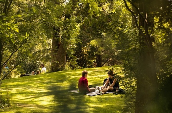
Urban environmental licensing serves to regularize the implementation of basic infrastructure in risky occupational areas and preserve them, guaranteeing a minimum percentage of green areas in the places where the constructions will be built and the protection of conservation units.
Another function is that of protecting the environment as a whole, since companies that practice activities that pollute or cause environmental degradation have to obey strict rules.
Why is Environmental Licensing for Real Estate Developments so important?
Through this document, people are protected in relation to situations of environmental risk, unhealthy conditions and vulnerability, natural disasters or even accidents, like several that occurred here in Brazil.

It is noteworthy that this licensing improves the environmental quality of natural resources for the entire community.
Large companies and people who work with construction in large cities will have to act within the law, reducing gas emissions, environmental pollution and the production of toxic waste, which will protect parks, squares, rivers, lakes and seas.
Environmental licensing for real estate projects is fundamental in promoting urban development and urbanization activities, emphasizing urban land as its main instrument.
How to obtain urban environmental licensing?
As already mentioned, there is a lot of bureaucracy in order to obtain documents that allow construction, both in urban and rural areas. There is no doubt that this is needed, but the first steps to go through are:
- Preliminary License: This license must be obtained in the preliminary phase of the development, and through it there is the approval of the location and design, in addition to attesting the environmental viability, where it establishes the norms that must be met in the stage of implementation of the construction or activity.
- Installation License: This license lives up to its name, it authorizes the installation of the real estate development in accordance with the specifications contained in the planning and approved projects. It also includes measures for environmental control that must be taken. For example, avoid digging the soil, reduce trips containing debris or earth removed.
- Operation License: This third and last license authorizes the operation of the enterprise's activity, it is given after verifying that everything contained in the previous licenses has been complied with, such as environmental control measures and compliance with requirements.
If you need this licensing, understand that it is necessary to meet all the requirements contained in each of the 3 steps. In order for the environmental licensing for real estate projects to complete the goal of making the construction project compatible with the environmental aspects of the implantation site, it is necessary to take some precautions, such as reports, projects, plans and a detailed study of the impact of the real estate project on the environment.
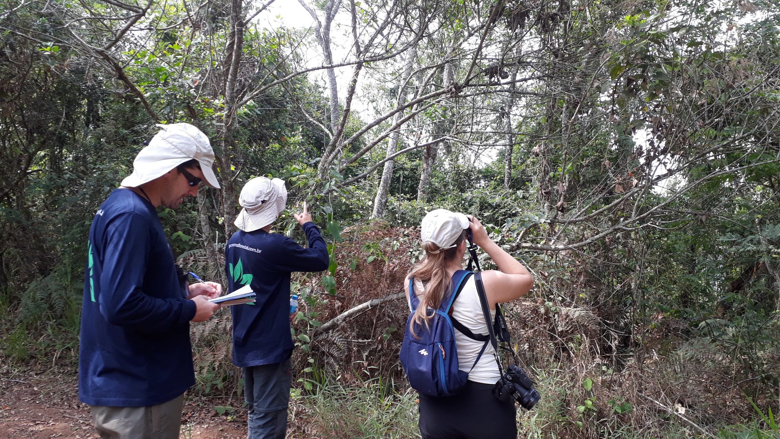
Report on vegetation characterization
When establishing a project for the construction of a real estate development, one must take into account the cutting of native vegetation when necessary, so it is fundamental to request a specific authorization from the corresponding environmental agency.
It is worth noting that this procedure is mandatory and its purpose is to prevent irregular and unrestrained deforestation through environmental compensation in cases where there is no alternative to cutting down the vegetation.
.

To carry out this request, it is necessary to present the vegetation characterization report which contains the data observed in the field and in the history of the region.
The data has information such as the type of vegetation, the stage of development and the measure in area and/or individuals.
It is also necessary to present a compensation project that will be remodeled according to the need for suppression.
This project includes the production of planting and maintenance of species native to the region in other areas that will not be suppressed.
Revegetation Project and Implementation of Green Areas - Compensation
In the State of São Paulo, it was foreseen in Resolution SMA – 31/2009 that urban projects must set aside 20% of the total area for the creation of green areas.
The Permanent Preservation Areas can and should be included in the total of green areas made available by the project.
It is imperative that the information regarding the vegetation cover of the areas that must be made available is presented in a report, noting that if they are characterized as an area free of native vegetation, it must be subject to recovery.
This means a project must be submitted in accordance with the criteria set out in SMA Resolution No. 32/14 and Conama Resolution No. 369/06, aiming to recover and preserve green areas.
Environmental Urban Plan
The Environmental Real Estate Licensing requires an environmental urban plan, which is a group of cartographic information that includes a georeferenced plan with Datum identification.
.

The urban project must contain all the environmental information of the project, including the area intended for permanent preservation, those that will need interventions, the green areas and even those that will be covered by native vegetation.
This plan is the basic analysis of the future situation that is being proposed by the construction of such an undertaking.
It is worth mentioning that this document is essential for the analysis and approval of the project, meaning it is one of the most important.
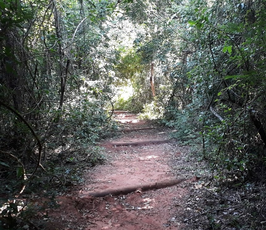
Recreation afforestation project and public sidewalks
The revitalization of vegetation in urban areas is essential and, regarding afforestation, it could not be different, especially in large centers.
That is because the amount of green area in the city can interfere with the temperature, making it milder, it contributes to improving the air quality and reduces the propagation of sound, which in turn reduces noise pollution – a great challenge nowadays.
Real estate developments must present a landscaping project that includes afforestation in the streets, leisure areas, green areas and in their own accesses, and the native species of the region are prioritized simply for their durability, especially those that have roots suitable for buildings to avoid future damage.
During its elaboration, the guidelines of the local energy concessionaire are considered, as well as the municipal guidelines.
These, in turn, will list the species that have their height compatible with the electrical distribution network, that is, with the power wires, and that at the same time provide sufficient shade to minimize the effects of soil sealing.
Is it possible to obtain environmental licensing for real estate developments in APPs?
The APP's are Permanent Preservation Areas, which means according to the Forest Code [external link] (Law nº 12.651, of May 25, 2012.), in free translation for this article: Protected area, covered or not by native vegetation, with the environmental function of preserving water resources, the landscape, geological stability and biodiversity, facilitate the gene flow of fauna and flora, protect the soil and ensure the well-being of human populations;

Even if the name is clear about the area to be permanently preserved, there is still a gap: interventions in APPs may occur when there is a need to occupy, use or build an area that is characterized as a permanent preservation area.
However, this intervention can only be authorized if the non-existence of a technical locational alternative is proven and when it is a work for public utility, considered of low impact and that is of social interest.
Who should carry out the Neighborhood Impact Study (EIV)?
EIV stands for Estudo de Impacto de Vizinhança in portuguese. According to the City Statute, the Municipal Government is responsible for defining, through the Law, which undertakings will depend on the creation of the Neighborhood Impact Study.
In the EIV there will be data on the positive and negative points of the enterprise in terms of the quality of life of the population that will be affected and what surrounds it.
This study includes the analysis of:
- Population density;
- Availability of urban and community facilities;
- Land use and occupation;
- Real estate appreciation;
- Traffic generation and demand for public transport;
- of ventilation and lighting,
- Urban landscape and natural and cultural heritage.
The documents that make up the EIV are public and must be available for consultation. Reminder that the preparation of this document does not replace any other environmental studies.
Geotechnical Geological Report
In some cases, when requesting an environmental licensing, the presentation of a Geotechnical Geological Report is required. Usually, this report is requested in areas that were used for mining, industrial activities or as solid waste deposits, or even if there are signs of soil and water contamination, intense erosion and earth movement that make landfills or suppression that are over 4 meters of height.
.

This document presents information regarding the characterization of the entire geological structure of the site, which defines soil profiles, depth of water level, resistance and compressibility, geomorphology, hydrology, pedology, geotechnics, climate, topography and behavior trends in excavation and embankment works.
If there is contamination of the area, an investigation of environmental liability will be opened.
The Environmental Summary must be supported by a team composed of professionals from different areas, with experience in environmental licensing for different types of projects, who will help and guide the planning, presenting possibilities and technical alternatives, always respecting the legislation and avoiding unnecessary costs.
Geonoma has a highly qualified team for this type of service.
Make an inquiry by clicking here.
What types of companies need Environmental Licensing for Real Estate Developments?
According to CONAMA Resolution No. 237/1997, the types of enterprises that operate in the urban area and need environmental licensing are:
- Industry that pollutes or causes environmental degradation;
- Agricultural, fishing and animal husbandry activities;
- Mining;
- Real estate developments;
- Transport, terminals and deposits of chemicals and hazardous products;
- Services;
- Deposits;
- Civil works on levees, highways, waterways, railways, drainage channels, subways, dams, among others;
- Urban developments, tourism and leisure, including theme parks and racing tracks;
- Terminals;
- Concrete and asphalt production plants and electroplating services;
- Use of natural resources: management of living aquatic resources, management of exotic fauna and wildlife breeding grounds, forestry, introduction of exotic and/or genetically modified species and use of biological diversity through biotechnology.
Now that you know more details about environmental licensing for real estate projects, it will be easier to act in this area when the opportunity arises.
Geonoma has been providing environmental licensing services since 2010 and can help you with this issue.