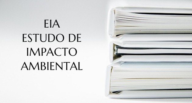
EIA/EIR: What is it and what is it for?

The EIA/EIRis an acronym for Environmental Impact Assessment and Environmental Impact Report, respectively. 

 Both are documents aimed at sustainability, aiming to assess and specify the intensity and dimension of the impact on the environment.

EIA RIMA Estudo

These two documents are different, but have the same degree of importance, and are fundamental in the environmental licensing process. 

 The initial idea of implementing the law that requires these documents was to control and measure the environmental impact. However, over the years, the main premise has become to minimize this impact as much as possible. 

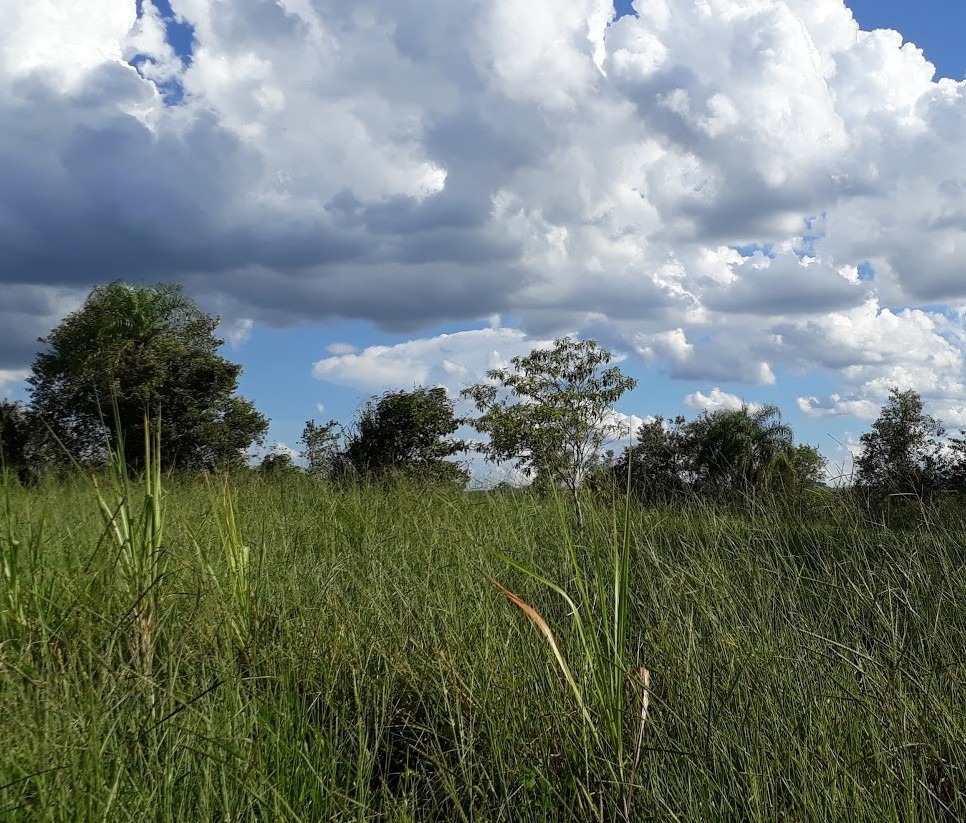
 The EIA/EIR can be translated as a document that makes it feasible or not to implement an enterprise close to natural areas with preserved landscapes such as rivers, lakes, sea and conservation units. 

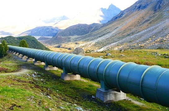
 However, the same can still be requested in large urban developments that emit a large volume of gas or that require excavation. 


What is EIA/EIR? 

The EIA – Environmental Impact Assessment [link] – presents meticulous details of technical surveys that are a set of studies carried out by specialists in areas corresponding to the project and the environment. 

estudo de impacto ambiental

Through each study, important data are denoted that will then be broken down in their breadth and detailed in a type of report.  Access to this study is restricted due to industrial secrecy that must be respected. 

EIR– The Environmental Impact Report – is, basically, the report of the conducted study, and is seen as the presentation of the conclusion of referred study in a more accessible language. 

 This was necessary to make it easier for the interested public to analyze it.

eia rima consultoria

Bearing in mind that this requirement is based on Federal Law No. 6,938 of 1981, which recognized and instituted the National Environmental Policy for the good of society as a whole, after all it was a start. In 1990, this law was regulated by Federal Decree No. 99.274/90 and became a requirement for Brazilian environmental agencies from CONAMA Resolution No. 001 of 01/23/1986. 

 Therefore, the characteristic of the EIRis the reflection of the conclusions of the EIA study, being as objective and comprehensible as possible for the entire population. 

 The information contained in the EIRcan be translated in a simple way with a more colloquial language and illustrated with maps, graphs, slides, letters and other indications that simplify the technical language. 


What’s the difference between EIA and EIR? 

The EIA is responsible for collecting material and analyzing it, writing a bibliography that supports the study, and for the study that foresees the possible and probable environmental consequences that may be caused by the construction project in the place in question. 

Estudo de Impacto Ambiental

With this study it is possible to evaluate and analyze the impacts caused by the construction project, as well as its intensity. 

 Also through this environmental impact study, the proposed conditions for its implementation and the best procedures to continue construction are obtained. 

 The EIR is a simplified report, which aims to clarify technical terms. 

 This report contains surveys and conclusions that the licensing public agency is responsible for analyzing considering the conditions of the construction project. .

Estudos de Impacto Consultoria

Subsequently, the EIR must be published in a public notice in the local press, when the 45-day period opens for requesting a public hearing that can be requested in that period by 50 or more citizens, or even by the Public Ministry. 

 Therefore, after holding the necessary hearings, the opinion is finalized and a prior licensing for the execution of the construction project may be authorized, or the project can be rejected. 


Technical activities developed by the EIA/EIR

The EIA/EIR is directly linked to the Preliminary License, as it is a prior study of the impacts that may occur with the operation and/or installation of a given enterprise. 

EIA RIMA Estudo Impacto

  • Technical activities developed by the EIA  
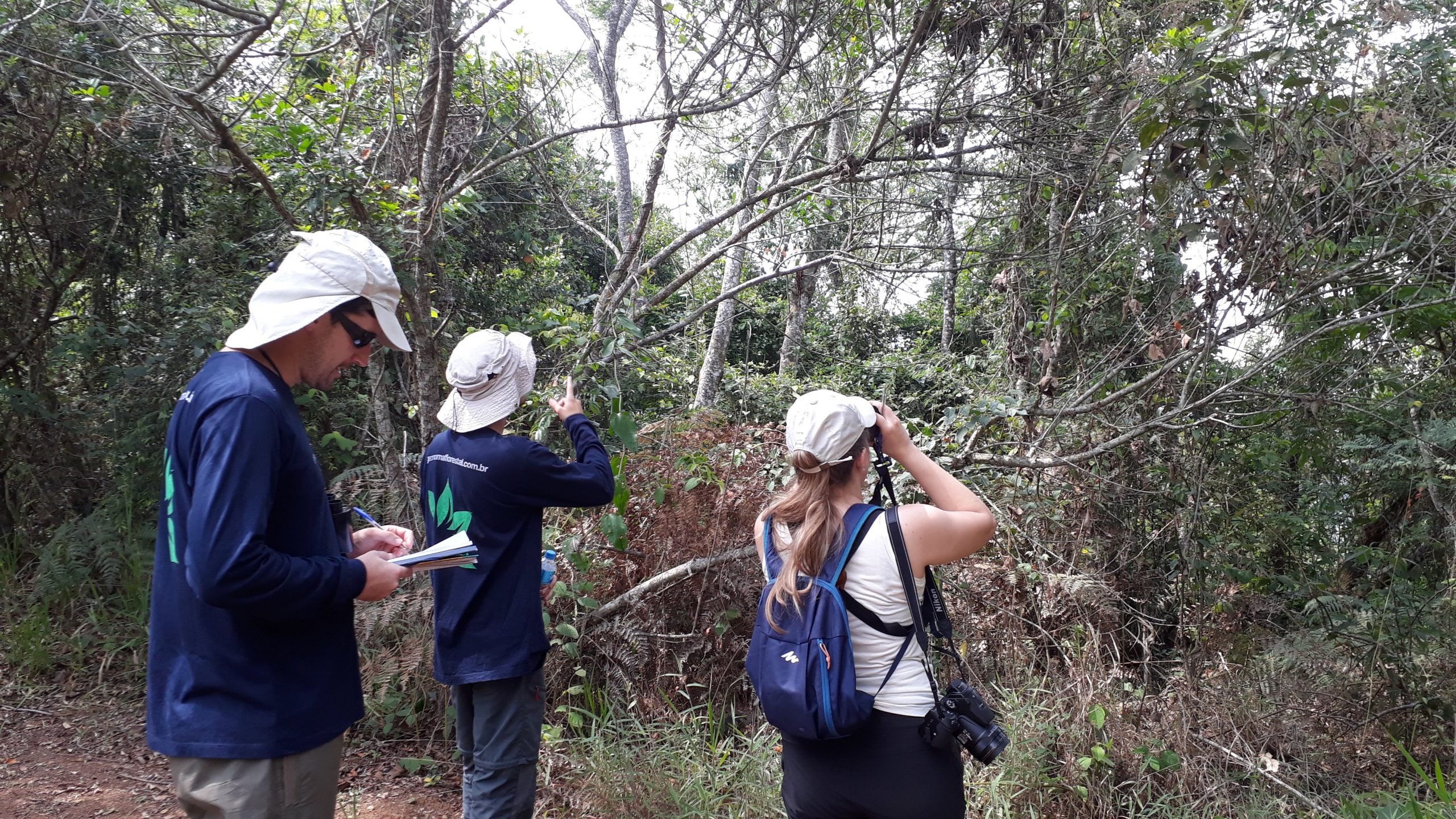
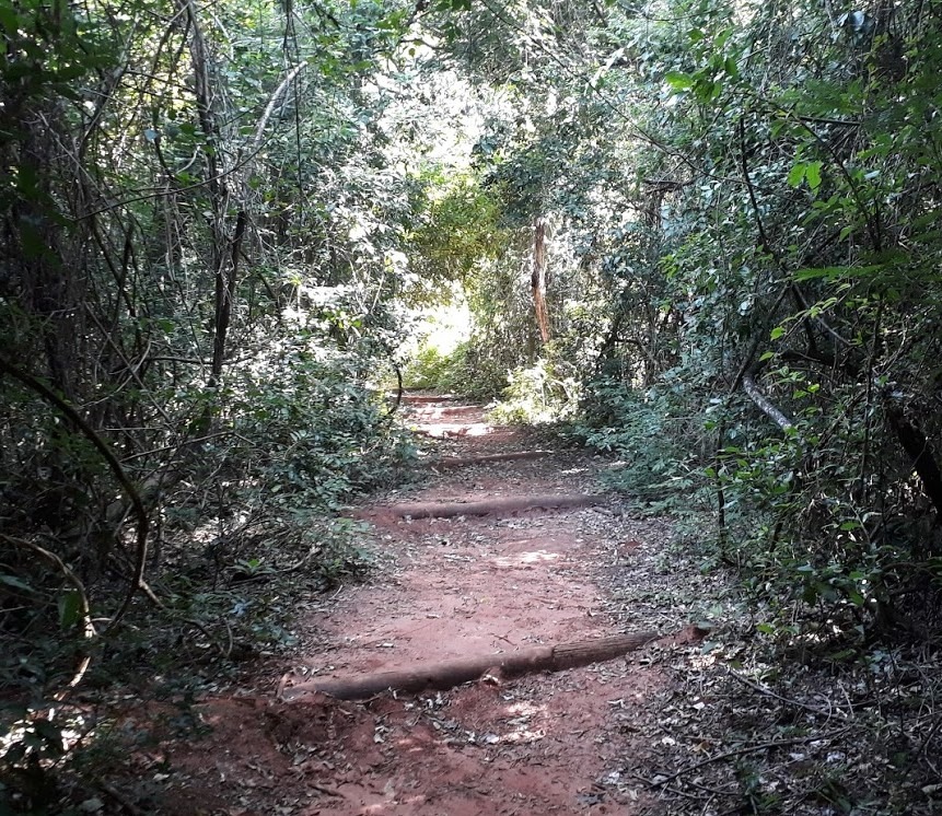
    • Environmental diagnosis of the area that will suffer the effect and influence of the construction project, which must contain the description and analysis of the environmental resources and how they will interact. This diagnosis considers the physical environment, such as subsoil, air, climate and water. This stage includes carrying out topographies and other analyzes of the soil, water and other components of the area. The biotic environment that is composed of flora and fauna must also be taken into account. In addition, it is worth mentioning that the socioeconomic environment is what defines the way to use the soil, water and possible historical sources and archaeological finds of the place. 
    • Analyze and evaluate the environmental impacts of the project and verify the degree of importance and the damage that will probably be caused to nature. This is the moment reserved for highlighting both positive and negative medium to long-term impacts, direct and indirect, which will be temporary or permanent. Thus, you will know what the costs and benefits of implementing the project will be for society. 
    • Define how negative effects, control equipment and eviction systems will be treated and, finally, analyze the efficiency of these actions. 
    • It monitors the project step by step: so that there are no more impacts than those already foreseen and that it has a defined pattern, one that is set and that will be followed. 

Consultoria Ambiental EIA/RIMA Licenciamento

Technical activities developed by EIR

  • Purposes and justifications of the project: description of what will be done and the technologies that will be used in raw materials, emissions, direct and indirect employments that will be generated and any energy waste. 
  • A basic summary of the result of the environmental diagnosis of the area that will be influenced by the project. 
  • Descriptions of the environmental impacts of implementation of activities. This description shows alternatives, design and methods that will be used to carry out the activities. 
  • Information on negative impacts, those that can or cannot be avoided. 
  • Data on the monitoring and follow-up of the environmental impacts generated by the project. The most favorable alternative, with conclusions and comments. 
  • Environmental quality of the area after the project, that is, predicting the situation of the site after the completion of the project and its execution. 


Which activities require the EIA/EIR? 

The requirement of the EIA/EIR is defined by the integration of the parameters: typology, size and location of the undertaking. 

 These documents are created in accordance with the CONAMA Resolution No. 001 of 1986, by an independent team from the Environmental Agency and the entrepreneur. 

 However, there was an opening in Resolution No. 237, instituted in 1997, which requires professionals to be legally qualified, at the expense of the entrepreneur.

EIA/RIMA Estudo de Impacto Ambiental Consultoria Ambiental

If you need to carry out an EIA/EIR for your enterprise, industry or property, Geonoma's team has been working with environmental consulting solutions since 2007 and we can help you. 

 Fill out a short form with what you need from us below and send it to Geonoma by email. 

 We will get back to you as soon as possible to move forward with your environmental project. 

Keep Reading

Environmental Monitoring and the invasive marmosets

We can say that environmental monitoring is basically a series of inventories of flora or fauna, carried out with the aim of knowing the biodiversity.

Environmental Licensing for Real Estate Developments 

There is a lot of bureaucracy in Brazil for any type of entrepreneurship, so it would not be different for environmental licensing for real estate developments.

Forest Inventory of the Natural Vegetation of the São Paulo State 

On the 21st of May of 2019, a great study about the vegetation of the most populous state in Brazil began, the Forest Inventory of the Natural Vegetation of the Sao Paulo State.   This decision was made for that the government has a solid base to strengthen and plan sustainable actions that will bring benefits to the population.   This is not something common, we stand before a special situation in which a state decides to bring its attention to vegetation. It is good to remember that the vegetation brings more quality to the life of the people in the region, after all, replanting can mild the temperature and reduce the drastic effects of ground rendered impermeable.  Still, generally speaking, people don’t comprehend the importance of vegetation and barely give it a second thought, some stick to agribusiness, but it is not what this is about, because the inventory is not looking for resources that are being used, but the ones that are native and preserved in a given region.  The biggest problem that Brazil faces here is that the majority of people don’t understand the need for a forest inventory, some even believe that it is a loss of money and they barely know what it is about.    What is Forest Inventory?  Forest Inventory is a method used to give out information about the characteristics of a forest, such as quantity, quality and many other characteristics of the areas where the forest is developing itself in.   The complete forest inventory will offer numerous information, among them: description of topography; description of accesses; property mapping; how easy is the transportation of wood; estimating the area, quantity and quality of different forest resources, and estimating growth (when the inventory is done more than once).    Types of Forest Inventory  Forest inventories, according to Péllico Netto and Brena (1997), can be classified in various types according to their range, objectives, how data is obtained, approach of the population in time and the detailing of its results.   About the range:   Regional Forest Inventory – this inventory is made in great areas with the purpose of serving as base for strategic plans for regional development, but also for studies that make forestal companies possible and to adopt measures that aim to preserve some species.  National Forest Inventory – these are not carried out in a specific location, but throughout the country with the premise of serving as base on the definition of forest policies and the creation of development plans for the use of forests.  Restricted Area Forest Inventory – these are the most common and represent the majority of forest inventories in Brazil. They usually aim to determine the potential of a forest for immediate use or to prepare a management plan.    About the objectives:   Total enumeration or census – in this inventory, the population is measured and observed, it is where the real values are obtained, meaning the population parameters.  Sampling – here the sampling system is used, when only a part of the population is observed and therefore an estimate of its parameters is reached, it is where a sampling error is achieved.  Production table – makes up the basis of forest management that indicates the behavior of a species over time in a specific location, subject to a defined management regime, from implementation to the end of operation and rotation. This methodology implies presenting dendrometric data of trees and populations of a species, by age and location, for a specific type of management. This is what makes it possible to evaluate a forest based on the identification of the location, age and species when acquiring information from the production table.    About the approach to the population in time:   Continuous inventory – its main feature is its repetition, it is done and redone periodically. The sampling structure is simple and materialized in a lasting way, due to successive data collections.  Occasional or temporary inventory – is done only once over time, so that the sampling structure is materialized for only one data collection.    About the detailing of results:   Forest Recognition Inventories – offers generalized data that provides the identification and limitation of areas with great potential for wood extraction, but detects places where they can be used indirectly – for recreation and leisure, indicate areas with a forestry vocation and more.  Exploratory inventory – this is usually carried out in large areas, likely to be that of a state or a country. Its objectives are: to evaluate the area covered by the forest of a specific region, its extension, location, and to characterize the types of existing forests.  Semi-Detailed Forest Inventories – a survey based on the reconnaissance forest inventory, the main identification aspects being having a scale compatible with the amount of information you want to have (generally between 1:50000 and 1:100000), providing accurate assumptions related to forest population parameters, and allow the definition of areas for forest exploitation through variable sizes. Forest Inventory of natural vegetation in the State of São Paulo  Now that we clarified a little more about the Forestry Inventory, we can explain why the Secretariat for Infrastructure and the Environment (SIMA) contracted a new Forestry Inventory of the Natural Vegetation of the State of São Paulo through the Forestry Institute.   This study began in March on the International Day of Forests and should be completed by March 2020, according to the pre-established deadline.   During this period, the survey must present quarterly balance sheets based on the data obtained for this document.   In the last mapping, which was carried out in 2010, it was pointed out that 17.5% of the territory of São Paulo is completely covered by natural vegetation, meaning it is full of its native vegetation.   As Marcos Penido, Secretary of Infrastructure and Environment, explained: “The Inventory is the basis for strengthening and planning sustainable actions by the Government that guarantees the people of São Paulo a better quality of life”.   Carrying out this new mapping is a crucial step to base SIMA's actions on licensing, conservation, research and environmental inspection.   This is a fundamental study for the maintenance and recovery of the ecosystemic biodiversity in the state of São Paulo.   Over the years, the Forestry Inventory provided essential support for decision-making in sectoral public policies that guides methods of preservation and restoration of the State's native biodiversity.   The results are released as the first regions are completely mapped.   Geonoma offers Forestry Inventory services

Personalized Consultation

Request an analysis and quote.

    apartmentenvelopephone-handset